 the State Historical Society of Missouri
![This eighteenth-century map shows the mouth of the River Des Peres (unnamed, below St. Louis) and the Kaskaskia village to the south on the opposite side of the Mississippi, where the River Des Peres mission resettled after abandoning the site in what is now south St. Louis. [Frederick Charles Hicks, ed., A Topographical Description of Virginia, Pennsylvania, Maryland and North Carolina, 1778]](/sites/default/files/styles/article_header_image/public/2023-01/1.%20River%20Des%20Peres.jpg?h=eb73c7be&itok=AwSYZpcO "This eighteenth-century map shows the mouth of the River Des Peres (unnamed, below St. Louis) and the Kaskaskia village to the south on the opposite side of the Mississippi, where the River Des Peres mission resettled after abandoning the site in what is now south St. Louis. [Frederick Charles Hicks, ed., A Topographical Description of Virginia, Pennsylvania, Maryland and North Carolina, 1778]")
More than half a century before the founding of St. Louis, French priests established a…
![Stony Dell. [State Historical Society of Missouri, John F. Bradbury Postcard Collection, R1551]](/sites/default/files/styles/article_header_image/public/2026-03/1.-stony-dell.jpg?h=46c2bdcb&itok=mUWj6J7A "Stony Dell. [State Historical Society of Missouri, John F. Bradbury Postcard Collection, R1551]")
Stony Dell, fourteen miles west of Rolla, was one of the central Missouri Ozarks’ premier tourist…
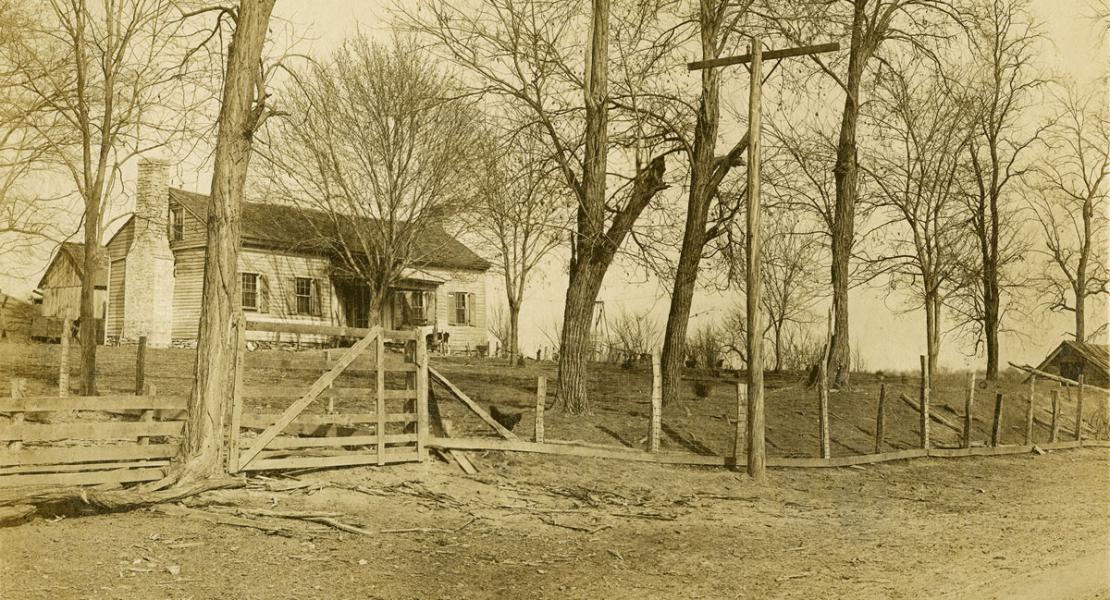
The Gentry–Threlkeld–Van Horn Tavern, usually referred to as the Van Horn Tavern, was the last known log…